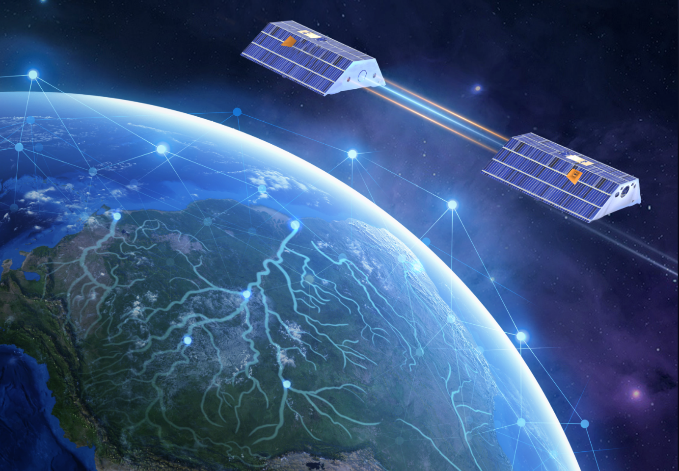
Researchers at ETH Zurich have developed a self-monitoring neural network that seamlessly integrates satellite-based gravity field measurements into hydrological simulations with the help of AI. This innovative approach has enabled the generation of the highest-quality global total water storage data at a very fine spatial resolution of half a degree. The resulting product offers valuable insights into the intricacies of the global water cycle and environmental extremes at a refined scale.
Prof. Dr. Benedikt Soja, ETH Zurich
Terrestrial water storage encompasses all forms of continental water, such as surface water, groundwater, soil moisture, and snow cover. Monitoring terrestrial water storage variations is crucial for understanding the global climate system since the changes are closely linked to climate variability and human activities. Recognizing its significance, the Global ClimateIn contrast to weather, which refers to daily or very short-term events, climate refers to an average condition in the atmosphere over a longer period of 30 to 40 years. All processes such as average temperature, precipitation, wind direction, wind s... Observing System (GCOS) designated terrestrial water storage as one of the essential climate variables and urged for increasing its spatio-temporal resolution. For now, only the GRACE satellite mission and its follow-on mission GRACE-FO can provide direct information on changes in TWS by sensing the Earth's gravity field variations. However, the effective spatial resolution of GRACE products is limited to around 300 km, which cannot fulfill the stringent requirements imposed by GCOS for achieving a breakthrough in monitoring the water cycle.
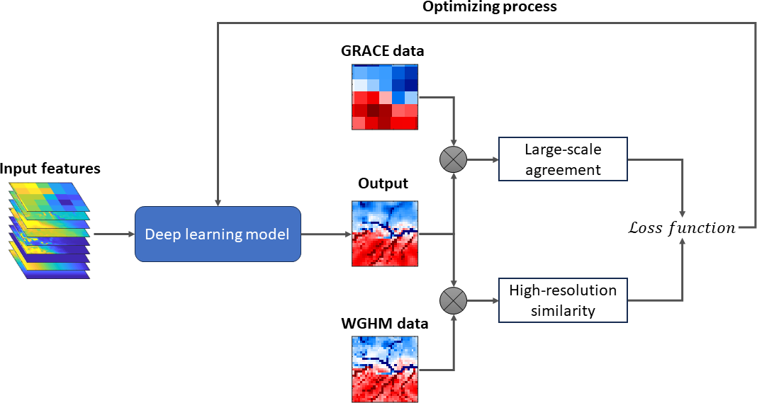
Many efforts have been performed to tackle this limitation by obtaining high-resolution information from other data sources, such as satellite altimetry. Recently, the Space Geodesy group from ETH Zurich developed a self-supervised learning model to combine GRACE measurements and hydrological simulations. Self-supervised means that it is optimized based on certain characteristics inherent to the data itself, without relying on external ground truth. In this specific task, the model benefits from the high-resolution information provided by hydrological simulations and the large-scale accuracy provided by GRACE measurements.
As a result, the model finds a balance between the two data sources and provides information on terrestrial water storage changes with a spatial resolution of 0.5 degrees with similar large-scale fidelity as GRACE data. The model output shows the potential to analyze the water cycle on a regional scale beyond the limiting resolution of GRACE products with the possibility to deconjugate neighboring water systems and study them individually. Environmental extremes, including floods and severe droughts, can also be monitored on a refined scale, which is crucial for relevant organizations to react appropriately to such hazards and manage resources effectively.

References
- Gou, J. and Soja, B. (2024): Global high-resolution total water storage anomalies from self-supervised data assimilation using deep learning algorithms. Nature Water, 2, 139-150. https://doi.org/10.1038/s44221-024-00194-w
- Gou, J. and Soja, B. (2024): GRACE-SeDA: A global total water storage anomaly product with a spatial resolution of 0.5 degrees from self-supervised data assimilation. Dataset. ETH Research Collection. https://doi.org/10.3929/ethz-b-000648738
- Irrgang, C., Saynisch-Wagner, J., Dill, R., Boergens, E. and Thomas, M. (2020): Self-Validating Deep Learning for Recovering Terrestrial Water Storage From Gravity and Altimetry Measurements. Geophysical Research Letters, 47, e2020GL089258. https://doi.org/10.1029/2020GL089258

